0161 327 0421
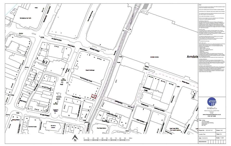
Land Registry Compliant Plan
These plans are most often used in conveyancing, such as when land or property is first registered, transferred or when leases are created

These drawings are primarily utilised in conveyancing processes, particularly during the initial registration or transfer of land or property, or in the creation of leases.
Furthermore, a Land Registry-compliant drawing is obligatory for boundary determination applications. These applications aim to provide the Land Registry with an updated and precise depiction of property boundaries following disputes between adjacent parties.
Apart from ensuring dimensional accuracy, the plan must adhere to specific features mandated by the Land Registry. A qualified architect is typically responsible for drafting these plans, as they form a vital component of the application documentation. Solicitors or planning consultants often oversee the compilation of this documentation due to the stringent requirements set forth by the Land Registry.
What is required?
Simply put, a comprehensive list of features. As outlined in Supplement 2 of the Land Registry Practice Guide 40, the prerequisites include, but are not limited to, the following:
Be accurately drawn to a stated scale (1:1250 – 1:500 for urban; 1:2500 for rural )
Display its orientation with a north arrow
Have enough detail to be identified on the Ordnance Survey plan
Show the entirety of the property including any garage, garden ground or bin stores, etc.
Display buildings in their correct (or intended) position
Mark land and property clearly (for example by edging, colouring and hatching)